Miscellaneous
Pictures from 1957
| |
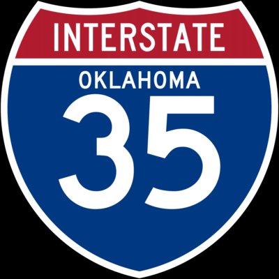
(Right) On
August 14 the American Association of
State Highway Officials adopted a design
for interstate highway markers, as well
as a system for numbering individual
highways in the interstate system. The
markers were to be a red, white, and blue
reflectorized shield with the legend
"Interstate," the name of the
state, and the route number. The
numbering system was not to use more than
two digits. North-south routes were to
have odd numbers beginning on the west
coast and going east, and east-west
routes were to have even numbers and
start in the south. |
 |
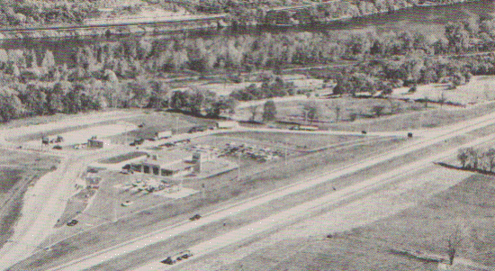 |
(Left) This
section of the New York Thruway near
Pattersonville, New York, is typical of
road building in 1957. It is a divided
highway and has off-the-road service
accomodations. |
|
| |
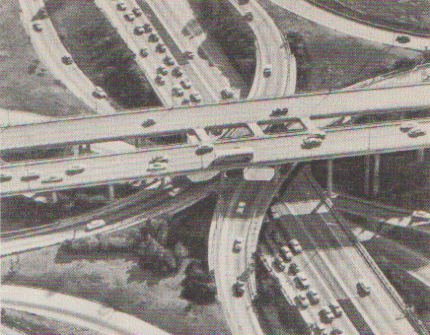
(Right) Highways
meet and cross each other at four
different levels in this Los Angeles
solution to the problem of merging
traffic. |
 |
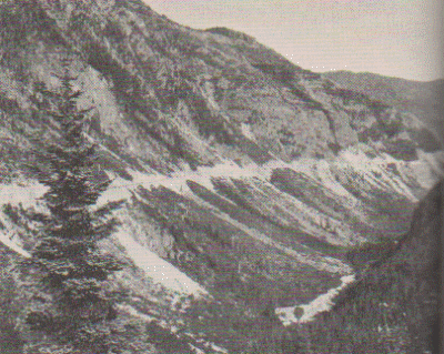 |
(Left) The
Stevens Canyon Highway was opened for
traffic in the fall of 1957. The section
shown here runs through Mount Rainier
National Park. |
|
| |
(Right) The
Major Deegan Expressway, a six-lane
highway, opened as part of Interstate 87
in August. |
 |
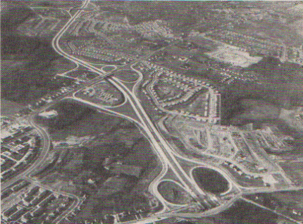 |
(Left) Part
of the Baltimore Beltway, which is
planned to circle the city. The
interchange for the Harbor Expressway is
at the left. |
|

In
the Year 1957
Questions or comments about
this page?
|


