 SKC Films Library SKC Films Library |
|
|
| SKC Films Library >> General and Old
World History >> Italy >> Cities, Provinces, Etc., A-Z |
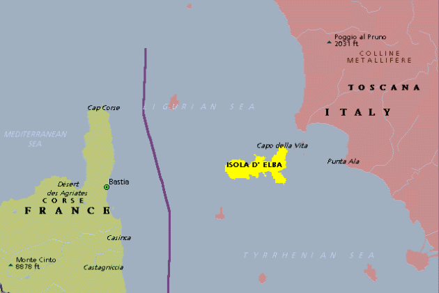
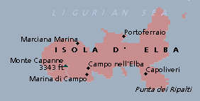
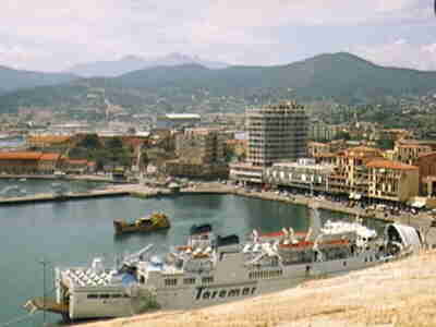
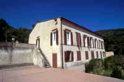
| Elba Isola d'Elba Elba is an island off the west coast of Italy. It lies 45 miles south and 7 miles southwest of Piombino, the nearest point on the mainland. It is about 19 miles long, 6½ miles broad, and has an area of 140 square miles. Its highest point is Monte Capanne, which is 3,340 feet above sea level. It forms, like Giglio and Monte Cristo, part of a sunken mountain range extending toward Corsica and Sardinia. location of Elba map of Elba The capital and largest city is Portoferraio in the center of the north coast, which is enclosed by a mountain amphitheater, the slopes of which are covered with villas and gardens. This is also the island's best harbor, the ancient Portus Argous. The town was built and fortified in 1548 by Cosimo I, who called it Cosmopolis. Above the harbor is the palace of Napoleon Bonaparte, and four miles to the southwest is his villa; on the north slope of Monte Capanne is another of his houses. At Le Grotte, between Portoferraio and Rio dell' Elba, and at Capo Castello are Roman ruins. Portoferraio the Villa Napoleonica di San
Martino (Napoleon's summer villa) Elba was famous for its iron and copper mines in early times. In 453 B.C. Elba was devastated by a Syracusan squadron. From the 11th to the 14th century it belonged to Pisa, and in 1399 came under the dukes of Piombino. In 1548 it was ceded by them to Cosimo I of Florence. In 1596 Porto Longone was taken by Philip III of Spain and retained it until 1709, when it was ceded to Naples. In 1802 the island was given to France. On Napoleon's deposition, the island was ceded to him with full sovereign rights, and he resided there from May 5, 1814, to February 26, 1815. After his fall it was restored to Tuscany, and passed with it to Italy in 1860. PRINT SOURCE SEE ALSO |
SKC Films Library >> General and Old World History >> Italy >> Cities, Provinces, Etc., A-Z This page was last updated on 04/08/2017. |


